GeoEDGE is a limited liability company specializing in the design and development of innovative software solutions for both web and mobile platforms. Our core services include the design, development, and implementation of Knowledge and Information Management Systems, Learning Management Systems (LMS), Enterprise Resource Planning (ERP) solutions, Geographic Information Systems (GIS), remote sensing, mapping, and a wide range of customer-driven business applications.
In addition to software development, GeoEDGE possesses strong expertise in DevOps, IT infrastructure, and cybersecurity. Our dedicated international team has extensive experience in software and application development, website and mobile app design, Azure cloud infrastructure implementation, on-premises to cloud server migrations, data backup strategies, cybersecurity risk assessments, and the design of secure, scalable IT and network architectures.
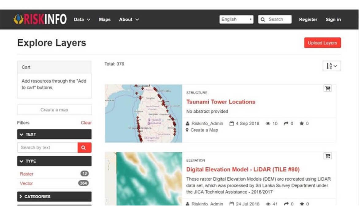
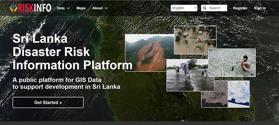
GeoEDGE supported the development and enhancement of RiskInfo, a national disaster risk information platform designed to improve data access and sharing across Sri Lanka. Built on the open-source GeoNode framework, the platform enables institutions and the public to upload, access, and analyze disaster-related geospatial data with clarity and ease.
By integrating metadata, licensing, and access permissions directly into the system, RiskInfo streamlines collaboration and accelerates disaster preparedness and response efforts across multiple sectors.
“RiskInfo transforms the way Sri Lanka manages disaster data—making access faster, sharing smoother, and insights smarter.”
Process & Results
Our team collaborated with The World Bank and national agencies to localize and extend the GeoNode platform to suit Sri Lanka’s disaster management needs. We customized modules for dataset categorization, metadata tagging, permission controls, and multilingual support. Hands-on training and documentation were delivered to ensure institutional users could effectively contribute and manage data within the platform.
The result is a powerful, user-friendly information hub that reduces duplication, promotes inter-agency cooperation, and empowers stakeholders with timely, actionable data. RiskInfo is now a trusted tool for decision-makers and researchers involved in climate resilience and disaster risk reduction.