GeoEDGE is a limited liability company specializing in the design and development of innovative software solutions for both web and mobile platforms. Our core services include the design, development, and implementation of Knowledge and Information Management Systems, Learning Management Systems (LMS), Enterprise Resource Planning (ERP) solutions, Geographic Information Systems (GIS), remote sensing, mapping, and a wide range of customer-driven business applications.
In addition to software development, GeoEDGE possesses strong expertise in DevOps, IT infrastructure, and cybersecurity. Our dedicated international team has extensive experience in software and application development, website and mobile app design, Azure cloud infrastructure implementation, on-premises to cloud server migrations, data backup strategies, cybersecurity risk assessments, and the design of secure, scalable IT and network architectures.
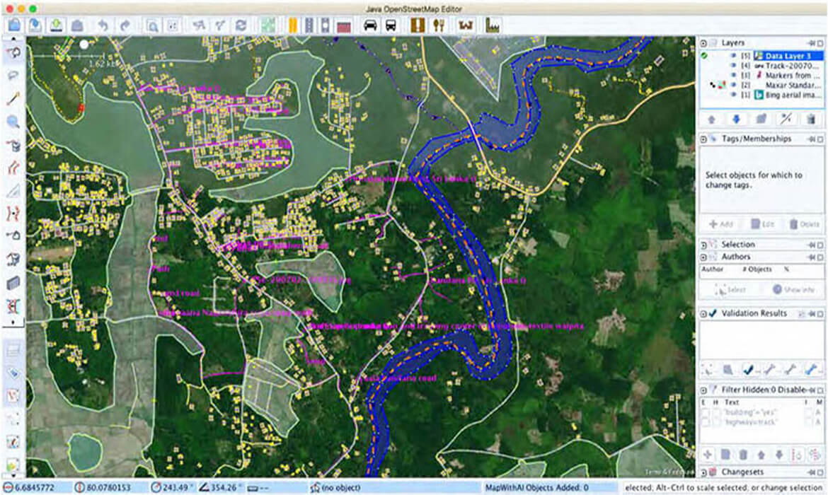
GeoEDGE partnered with the World Bank and Sri Lanka’s Disaster Management Centre (DMC) to support national resilience efforts through geospatial data enhancement. This project involved developing detailed exposure datasets for high-risk districts, contributing directly to Sri Lanka’s national geospatial platform.
The datasets provided critical baseline data on buildings, infrastructure, and population distribution, enabling disaster managers to visualize risk scenarios, assess vulnerability, and plan more effectively for disaster response and recovery.
“By strengthening national exposure datasets, this project builds the foundation for smarter, faster disaster response and risk-informed planning.”
Process & Results
The project began by identifying vulnerable districts and conducting pilot mapping exercises to capture high-resolution exposure data. GeoEDGE used remote sensing, field validation, and GIS-based modeling to develop building-level datasets aligned with national standards.
These datasets supported post-disaster payout assessments under the National Natural Disaster Insurance Scheme (NNDIS), managed by the National Insurance Trust Fund (NITF). The outcome enabled the National Disaster Relief Services Centre (NDRSC) to adopt more efficient building damage assessment mechanisms, reducing delays in compensation and improving planning for future disaster risk reduction. This effort also contributed to a more integrated, risk-informed approach across government agencies.